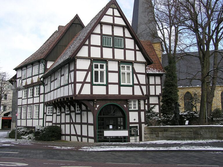








The Rems-Murr district uses PlexMap to build its geoportals

The Rems-Murr district is located in Baden-Württemberg and has a population of 438,873. The district is part of the Stuttgart Region Association within the Stuttgart administrative region; it was formed in 1973 from the former district of Waiblingen, large parts of the former district of Backnang, and a smaller section of the former district of Schwäbisch Gmünd. It takes its name from the rivers Rems and Murr, whose valleys and side valleys shape the landscape of the district.
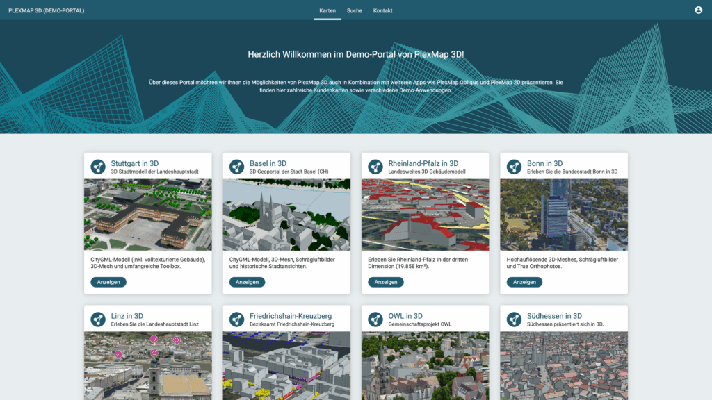
Rems-Murr-Kreis operates two central geoportals: an internal specialist portal containing sensitive data for staff, and a public GIS for citizens. The district has now selected PlexMap as the new, future-proof solution for operating both geoportals. To ensure the secure, high-performance, and legally compliant operation of both portals—meeting requirements such as the INSPIRE Directive and GDPR—over the long term, Rems-Murr-Kreis issued a tender for modern geoportal software. The goal is to implement a modern WebGIS platform using PlexMap that allows the district to handle administration independently. With this move, the district is establishing the technical foundation for digital twins, future digitalization projects, and comprehensive open government and open data initiatives.
To meet the client’s requirements, PlexMap Portal—enhanced with modern metadata management capabilities—is deployed alongside PlexMap 2D, enabling, among other things, INSPIRE-compliant metadata management.
We look forward to working with the Rems-Murr district!