The federal city of Bonn relies on PlexMap Street360° to visualize street-level panoramic images
The City of Bonn and Geoplex have been connected by a long-standing partnership since 2019. The Office for Land Management and Geoinformation of the City of Bonn relies on PlexMap in particular for the web-based visualization of 3D meshes, oblique aerial imagery, and orthophotos. Since going live, the jointly developed platform 3d.bonn.de has already recorded well over 100,000 visits and is therefore one of the most successful municipal 3D platforms in the German-speaking region.
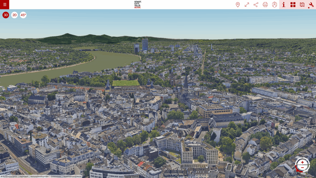
The federal city is now taking the next step and is using PlexMap Street360° and PlexMap Points for driver-independent web-based visualization of street-level panoramic images and mobile-captured point clouds. As part of the initial setup, street survey images and point clouds from the years 2015, 2017, 2019, 2021, and 2023 are being integrated into the City of Bonn’s existing PlexMap instance and made available for internal municipal use.
In addition, various customization tasks have been commissioned to integrate point clouds and panoramic images from NavVis. This also enables the visualization of interior panoramas, further expanding the functionality of PlexMap Street360°.
We look forward to continuing our collaboration with the City of Bonn!