The Neukölln district office in Berlin relies on PlexMap!
Neukölln is one of Berlin’s most exciting and diverse districts. Around 330,000 residents from more than 160 nations live in Berlin’s eighth administrative district. The district is one of the most densely populated inner-city areas in Germany and is known, particularly in the north, for its student-oriented scene and international hipster culture.

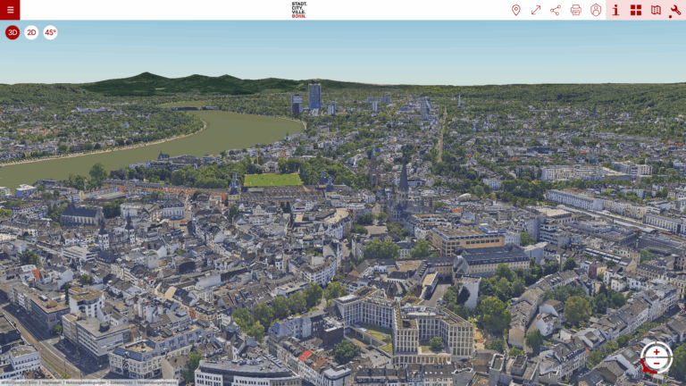
With the acquisition of PlexMap, Neukölln aims to map the district as a three-dimensional, digital urban twin, seamlessly and seamlessly. Furthermore, a tool for the integration and visualization of Neukölln’s own urban development projects, drawings, and designs will be developed. To implement this project, Neukölln will use PlexMap 3D, PlexMap Oblique, and the PlexMap Planner.
On the front end, in addition to displaying the 3D city model in PlexMap 3D, it will also be possible to visualize it in the Neukölln district’s master portal. To enable the integration of the 3D city model and other PlexMap functions (e.g., tools and the PlexMap Planner) into the Neukölln district’s master portal, Geoplex is providing a master portal plugin as part of the project. This plugin is based on the PlexMap API and enables exchange between PlexMap and the external master portal.
We look forward to working with Berlin Neukölln!
Foto: Die Berliner Gropiusstadt aus Süden vom Rudower Dörferblick aus gesehen. Urheber: Bautsch Lizenz: Diese Datei wird unter der Creative-Commons-Lizenz „CC0 1.0 Verzicht auf das Copyright“ zur Verfügung gestellt.