The district of Celle is getting a solar cadastre from Geoplex!
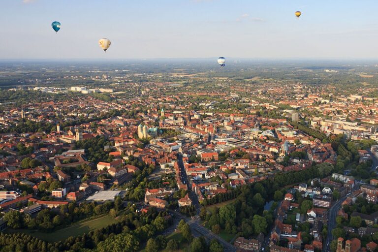
The district of Celle is located in the eastern center of Lower Saxony and is part of the Lüneburg Landscape Association. The Aller, the largest river in the area, flows through the southern part of the district. The district covers an area of 1,550.82 km² and is home to around 172,449 residents, who can now look forward to the new solar cadastre.
To tackle climate change as a global problem, action must be taken locally. The district of Celle is also facing this challenge and is setting up a solar cadastre with Geoplex.
A solar cadastre from Geoplex helps to identify the local solar potential and effectively raise awareness among citizens about the use of solar energy. The solar cadastre is therefore an important tool for supporting and systematically advancing the energy transition at the local level.
To make it easier for users to move “from theory to practice,” a district-wide map application for “local experts” is also being developed. In the final step of the solar cadastre, users can directly contact local solar installers!
We look forward to working with the district of Celle!
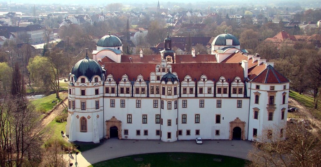
Photo: “Das Celler Schloss, Sicht von oben“. Author: Hajotthu License: This file is licensed under the Creative-Commons-License „Namensnennung – Weitergabe unter gleichen Bedingungen 3.0 nicht portiert“.