

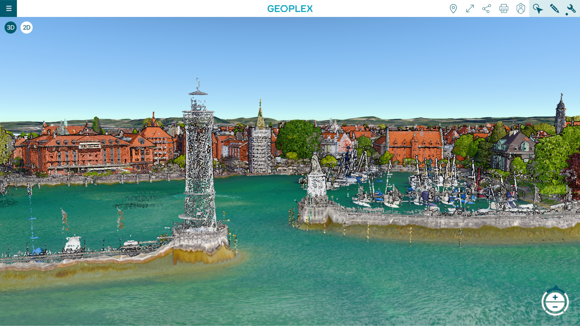
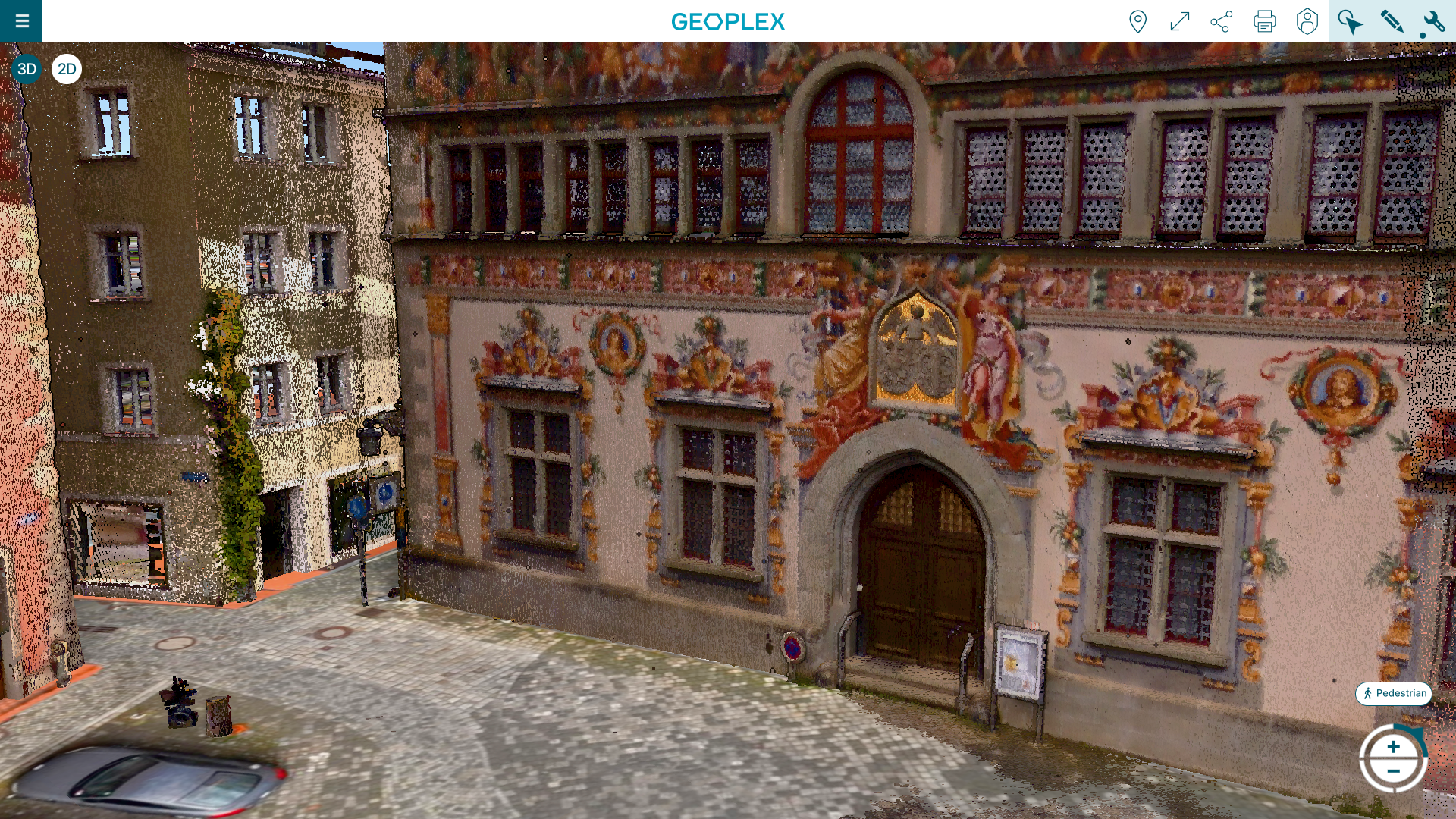
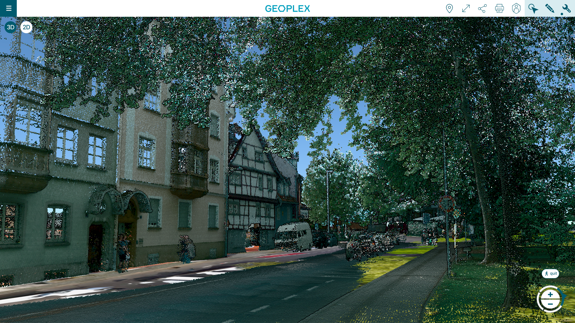
PlexMap Points expands PlexMap 3D with the ability to efficiently store, process, and clearly visualize point clouds of any size.
Point clouds from various data sources offer significant added value beyond pure visualization for the refinement of two-dimensional geodata into the third dimension.
Process all types of point clouds
With PlexMap Points, all types of point clouds can be processed and displayed. Typical data sources include: terrestrial laser scanning (TLS), mobile laser scanning (MLS), airborne laser scanning (ALS), image-based digital surface models (DEM), and drone flights.
All point clouds can be easily displayed within your own digital twin and used for analysis purposes.
Tools

Coordinates
With the Coordinates tool, you can read, search, and change the current coordinate system.

Messen
PlexMap provides various measurement tools. The measurement tools available vary depending on the view mode.

External Links
The “External Links” tool allows you to access external map applications (e.g., an existing geoportal) from within PlexMap.

Clapboard
The “Clapboard” tool can be used to create simple rotations and aerial tours in PlexMap 3D.

Render Settings
The “Render Settings” tool contains options that allow you to influence the map display in PlexMap 3D.

Section Plane
With the Section Plane tool, you can place and move a plane through the 3D viewer.

Elevation Profiles
With the Elevation Profile tool, you can create elevation profiles of the terrain or surface in the 3D viewer.

Export
With the Export tool, you can export map objects in various data formats.
Advantages
With PlexMap Points, you can also visualize extremely high-resolution point clouds within PlexMap 3D. You can also use point clouds to bring two-dimensional data into the third dimension (bridges, LOD1 buildings, trees, etc.). Learn all about the advantages of PlexMap Points!
Color point clouds (use colors from aerial photographs, use simple colors or color beams)
Extrude 2D features (building floor plans, tree registers, bridge structures, etc.)
Extract point clouds with 2D features (e.g., display points within buildings)
Create statistics (e.g., minimum and maximum height, average height, point cloud extent)
Calculate point cloud resolution (in points/m²)
Quality management: Calculate the difference between the point cloud and the 3D city model
Create PlexMap 3D terrains independently from point clouds
Display point clouds of any size
Combine point clouds with other 3D data
Styling point clouds (adjust color and appearance)
Saving point clouds including versioning
Supported formats: XYZ, ASCII, LAS, LAZ
Live-Demo
Try PlexMap Points via our demo portal
Get in touch
We would be happy to advise you personally. Send us an email at sales@geoplex.de
or call us directly at +49 (0)541 977695-90