

With PlexMap 3D you can visualize your 3D city model online with high performance and present planning options.
Many government agencies already have 3D city models or can obtain them at no cost via open data platforms.
To generate real added value with the available 3D data, PlexMap provides you with a powerful 3D geodata infrastructure (3D-GDI) with components for data storage, analysis, and (web) visualization.
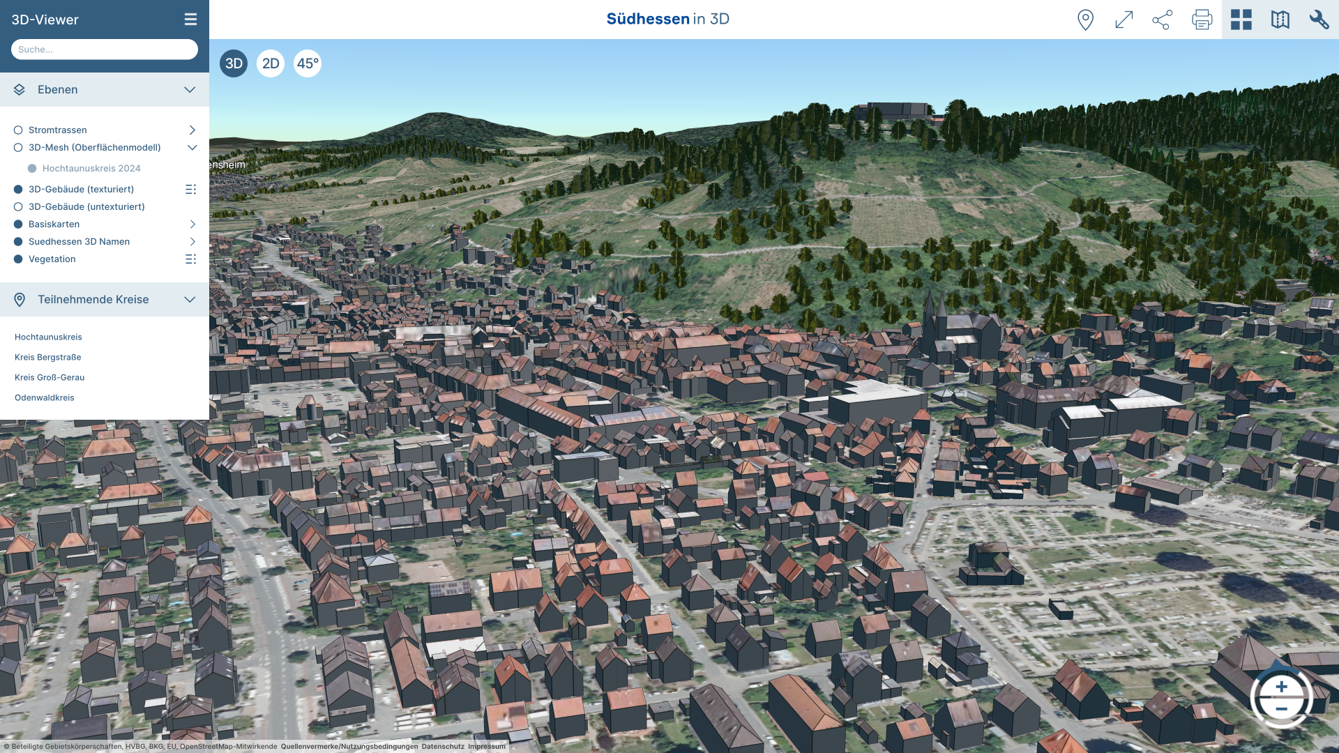
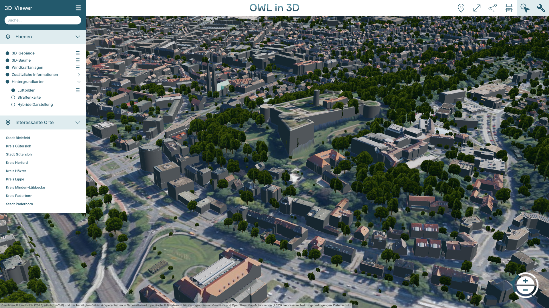
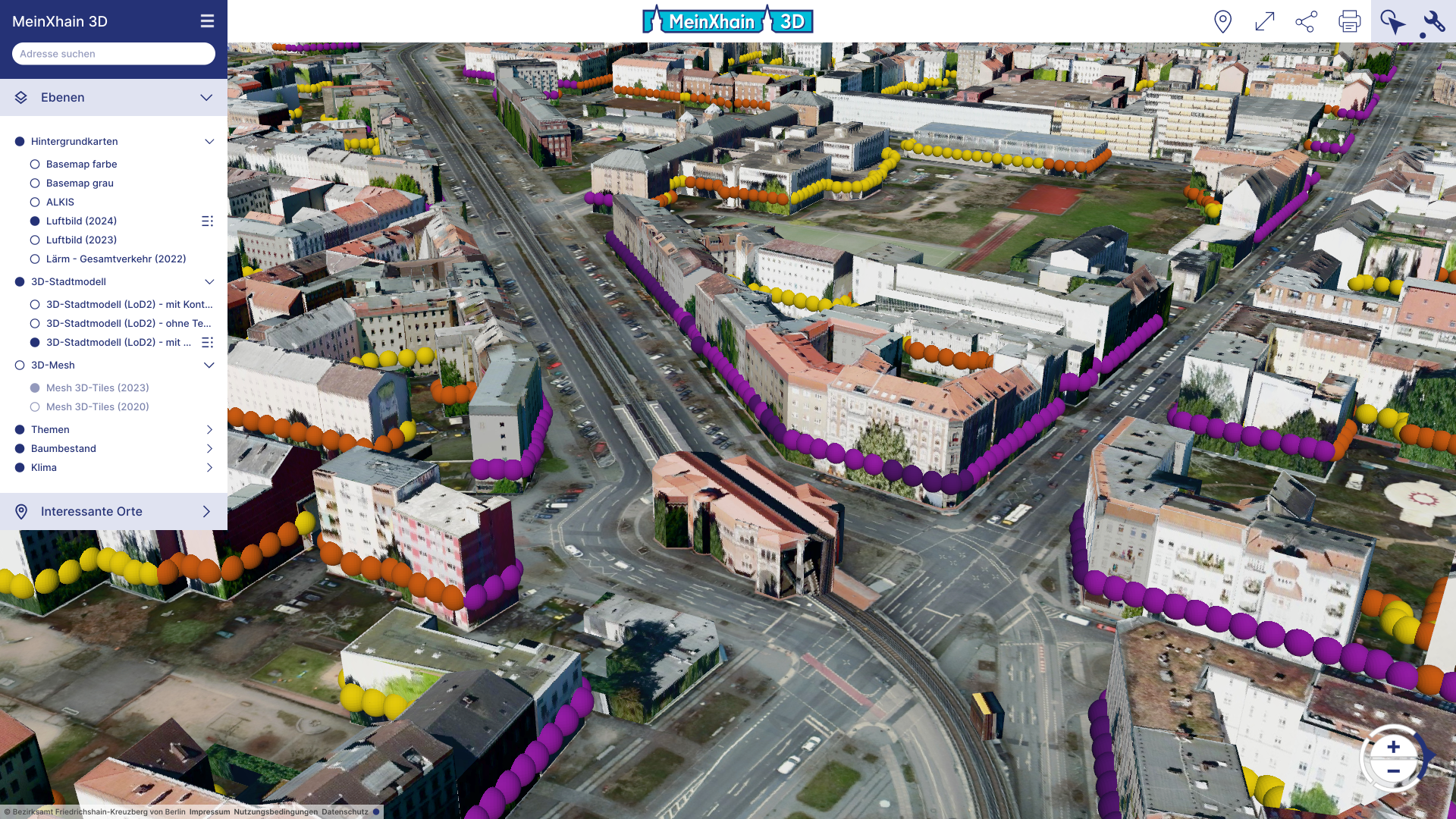
Easily display 3D city models
PlexMap 3D is a web-based system software for building powerful 3D geodata infrastructures (3D GDI) and digital twins.
In addition to a 3D data storage (PlexMap Magazine) and a 3D data analysis tool (PlexMap Switchboard), PlexMap 3D features a high-performance and easy-to-use viewer for displaying 3D city models online.
Advantages
PlexMap 3D offers far more than market-leading performance for web viewing. PlexMap 3D enables intuitive and efficient handling of 3D data through various viewer tools.
- Intuitive user interface and optimal performance.
- No plug-ins required.
- Full support for smartphones and tablets thanks to responsive design.
- Find addresses and property attributes with simple text input.
- Display complex 3D city models (LoD 3) including textures.
- Extensive toolbox with numerous functions.
- Print editor: Create customized 3D maps and print them in various formats.
- Import, web preparation, and visualization of 3D data in numerous formats (e.g., CityGML, 3D tiles, OBJ, STL).
- Export the displayed 3D data directly from the viewer (list of supported formats).
- PlexMap offers numerous expansion options. You can easily integrate the following via our apps: oblique aerial images, 360° street view images, georeferenced photos, point clouds, 2D geodata.
Tools

Coordinates
With the coordinate tool, you can read, search, and change the current coordinate system.

Measure
PlexMap provides various measurement tools. The measurement tools offered vary depending on the view mode.

External Links
The “External Links” tool allows you to access external map applications (e.g., an existing geoportal) from within PlexMap.

Shading
The Shading tool can be used to simulate shading effects for any date and time.

Clapboard
The Clapboard tool can be used to create simple rotations and flight tours in PlexMap 3D.

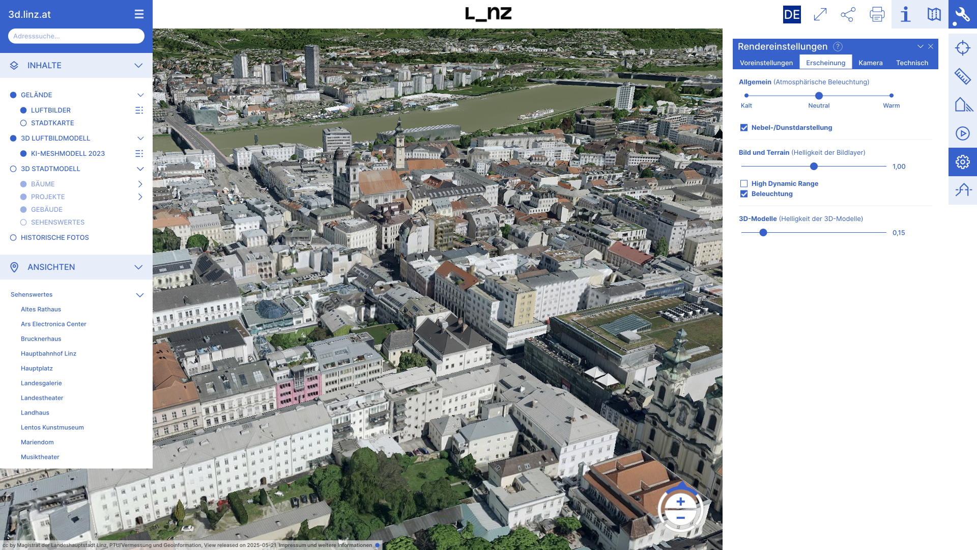
Render Settings
The Render Settings tool contains options that allow you to influence the map display in PlexMap 3D.

Viewshed
The Viewshed tool can be used to analyze and display visibility relationships. This tool answers the question “What do I see from where?”

Section Plane
With the Section Plane tool, you can place and move a plane through the 3D viewer.

Elevation Profiles
With the Elevation Profile tool, you can create elevation profiles of the terrain or surface in the 3D viewer.

Export
With the Export tool, you can export map objects in various data formats.

Contour Lines
With the Contour Line tool, you can create contour lines in the 3D viewer and color the terrain according to elevation.

Buffer
With the Buffer tool, you can create two- and three-dimensional buffers in the 3D viewer.
Feedback
Add-ons
PlexMap Planner: Create and present planning variants in the viewer
With the PlexMap Planner, you can easily import planning variants and architectural models into the viewer using drag and drop.
Numerous tools are available for moving, scaling, duplicating, and rotating 3D models. Existing buildings can be easily hidden in the 3D viewer if necessary (CityGML & 3D Mesh). An extensive 3D library is available for designing plans.
It is also possible to draw and style 2D geometries (polygon, line, point).

Add-ons
Single Sign-On (SSO) & LDAP-Integration
As the user base grows, it may be useful to conveniently implement PlexMap login via single sign-on, for example, with LDAP. This uses the identity provider provided by the client (OpenID Connect or SAML 2.0).
Users can then simply identify themselves with their employer’s general login credentials and do not require their own PlexMap password. This also largely automates the allocation of user rights and user management (e.g., when an employee leaves).

Add-ons
In conjunction with the PlexMap Street360° app, you can visualize georeferenced photos directly in the 3D viewer. Possible sources for the images include drone photos or historical images.
For the integration of historical photos, PlexMap has an interface to the sMapshot platform, which handles the georeferencing of the images.

Live-Demo
In the demo portal, you will find a selection of our references and demo applications
Get in touch
We would be happy to advise you personally. Send us an email at sales@geoplex.de
or call us directly at +49 (0)541 977695-90