PlexMap Apps: The right tool for every application.
PlexMap apps are specialized map applications for visualizing geodata. The following list provides an overview of the currently available PlexMap apps. Each application has a specific range of functions and is automatically delivered with the corresponding Switchboard functions and the PlexMap Magazine. Of course, you can combine multiple apps immediately or add them later.
Visualize and edit 2D geodata on the Internet.
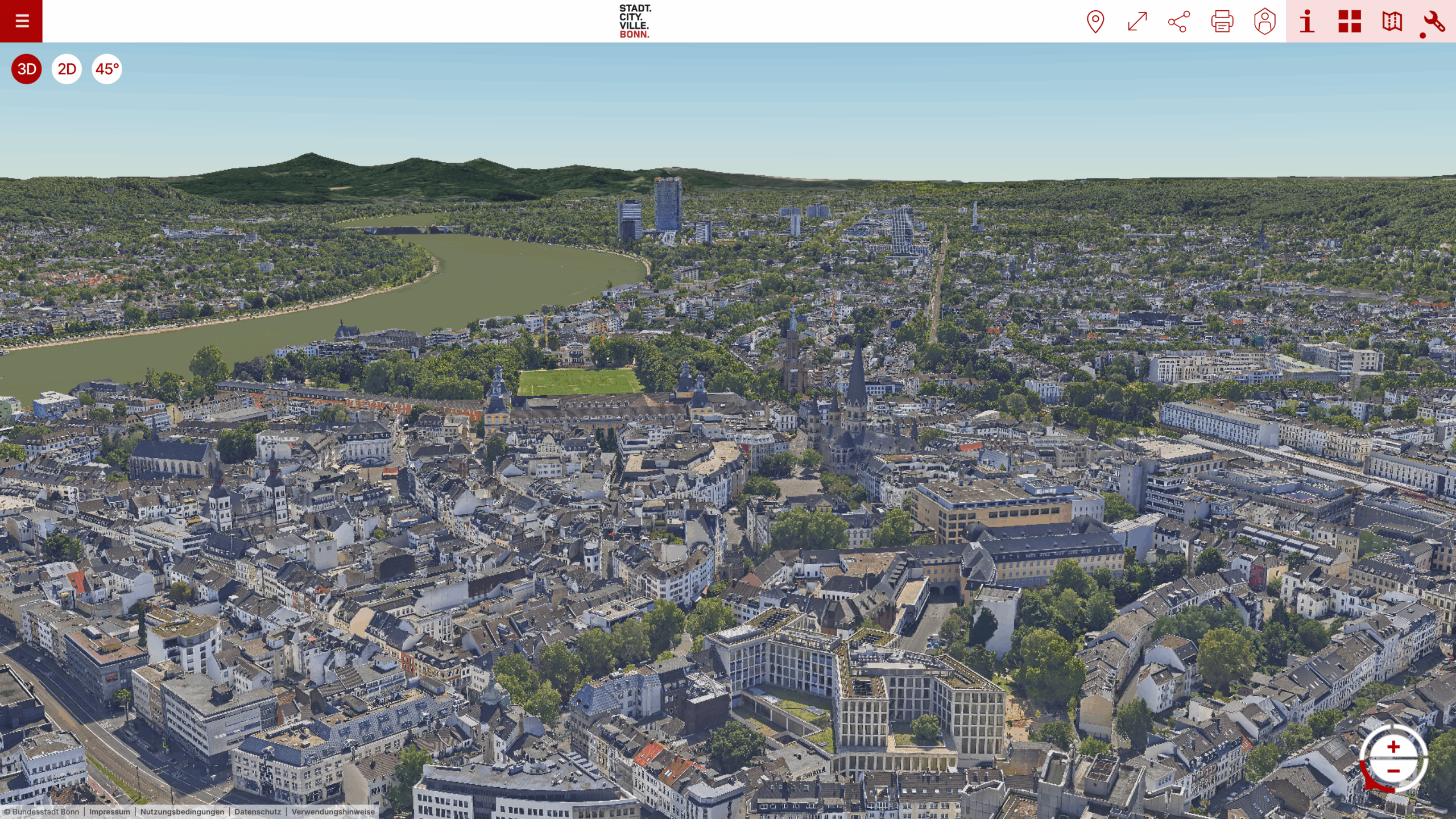
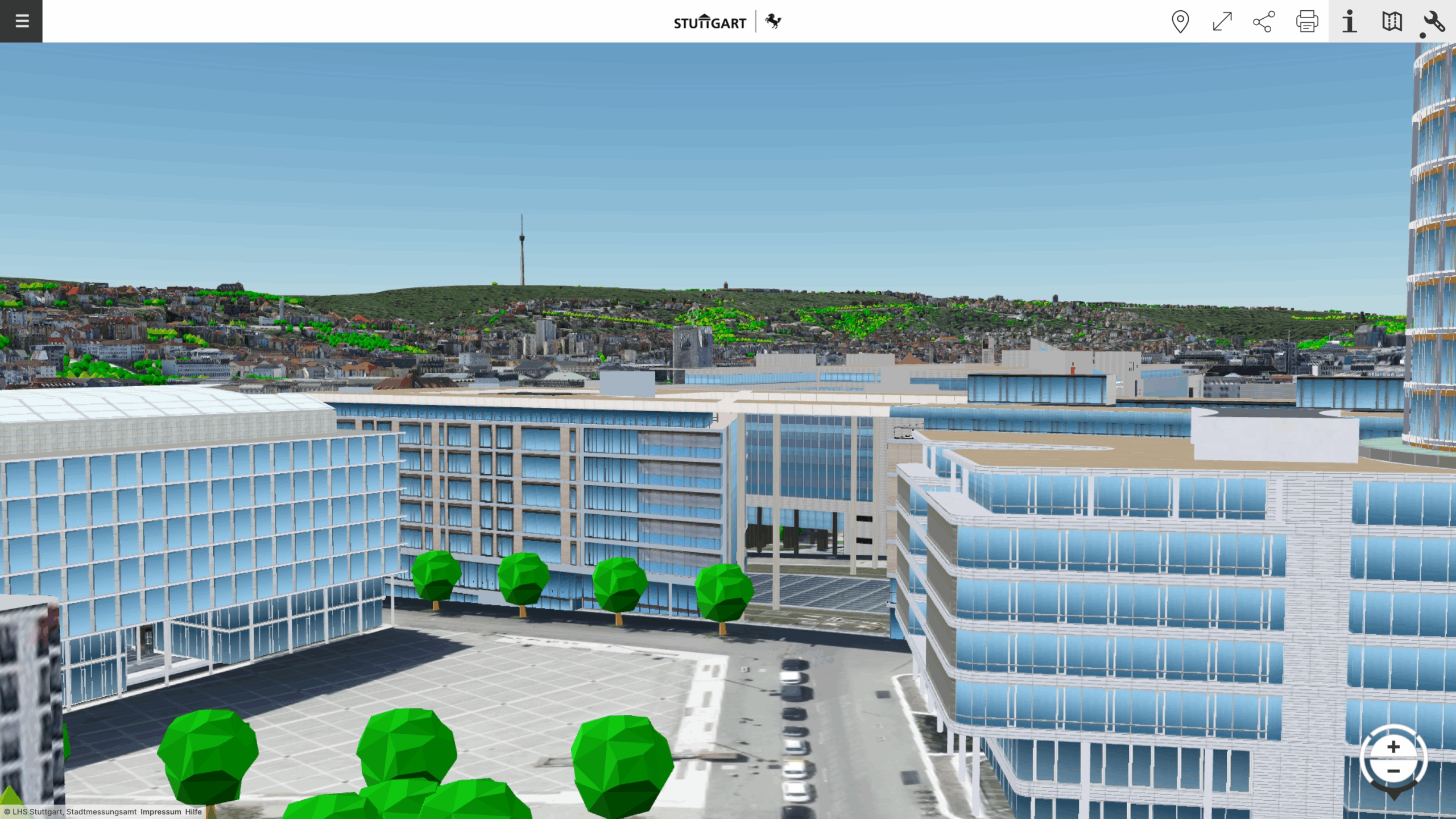
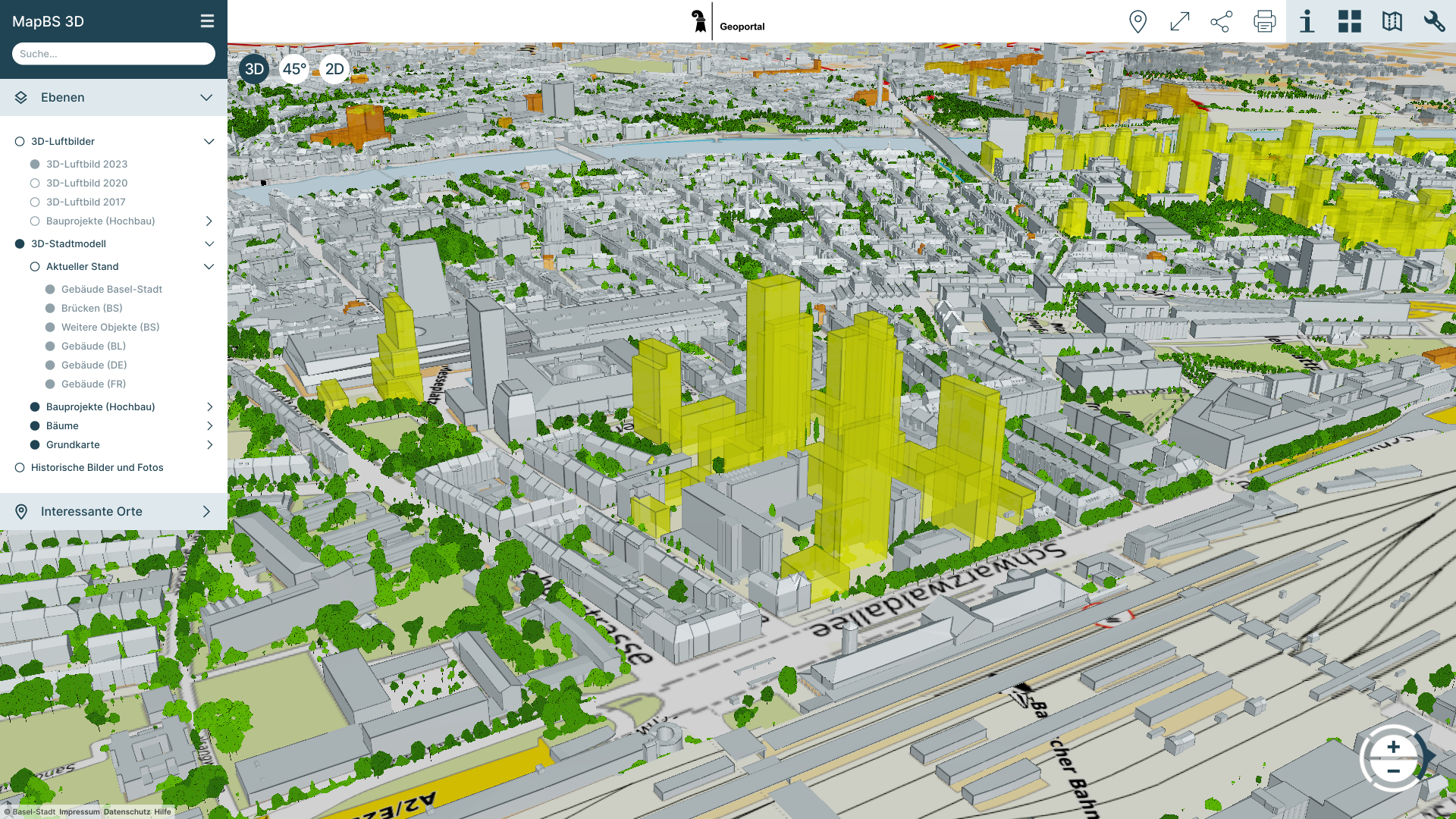
Create and manage your digital twin online
Optimize oblique aerial images for the web and display them online.
A next-generation heat register.
Process point clouds and display them online.
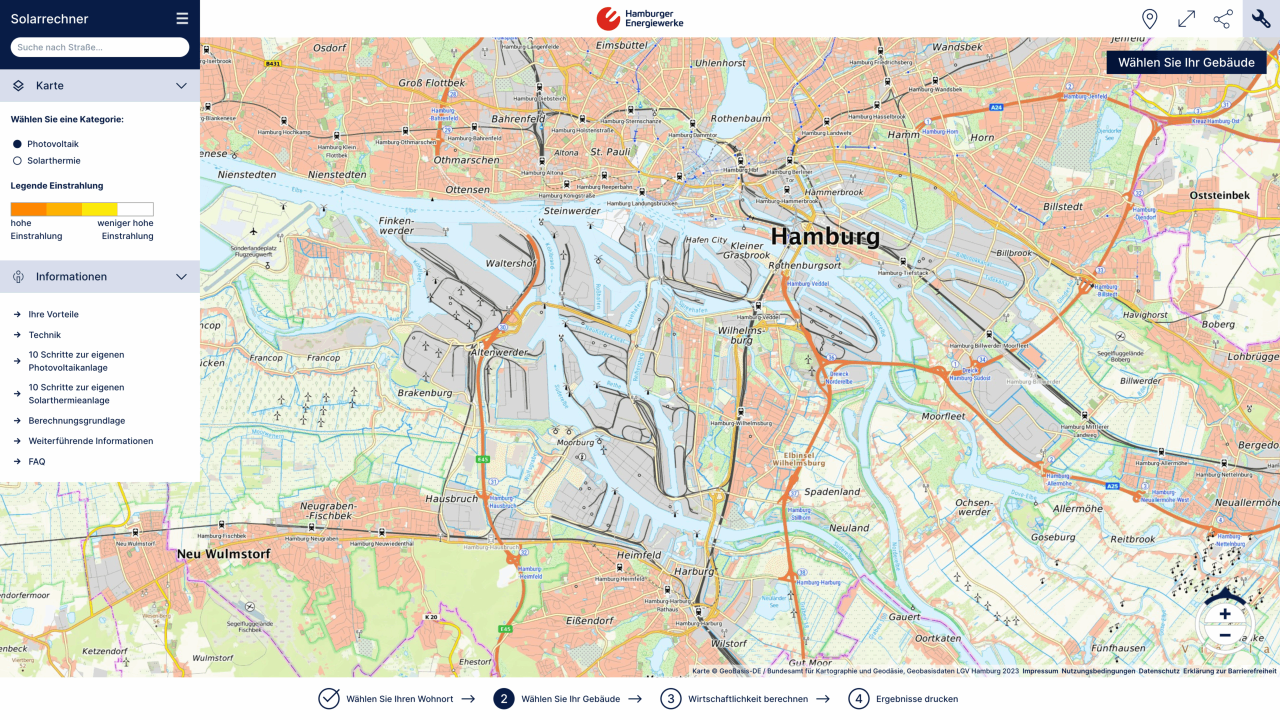
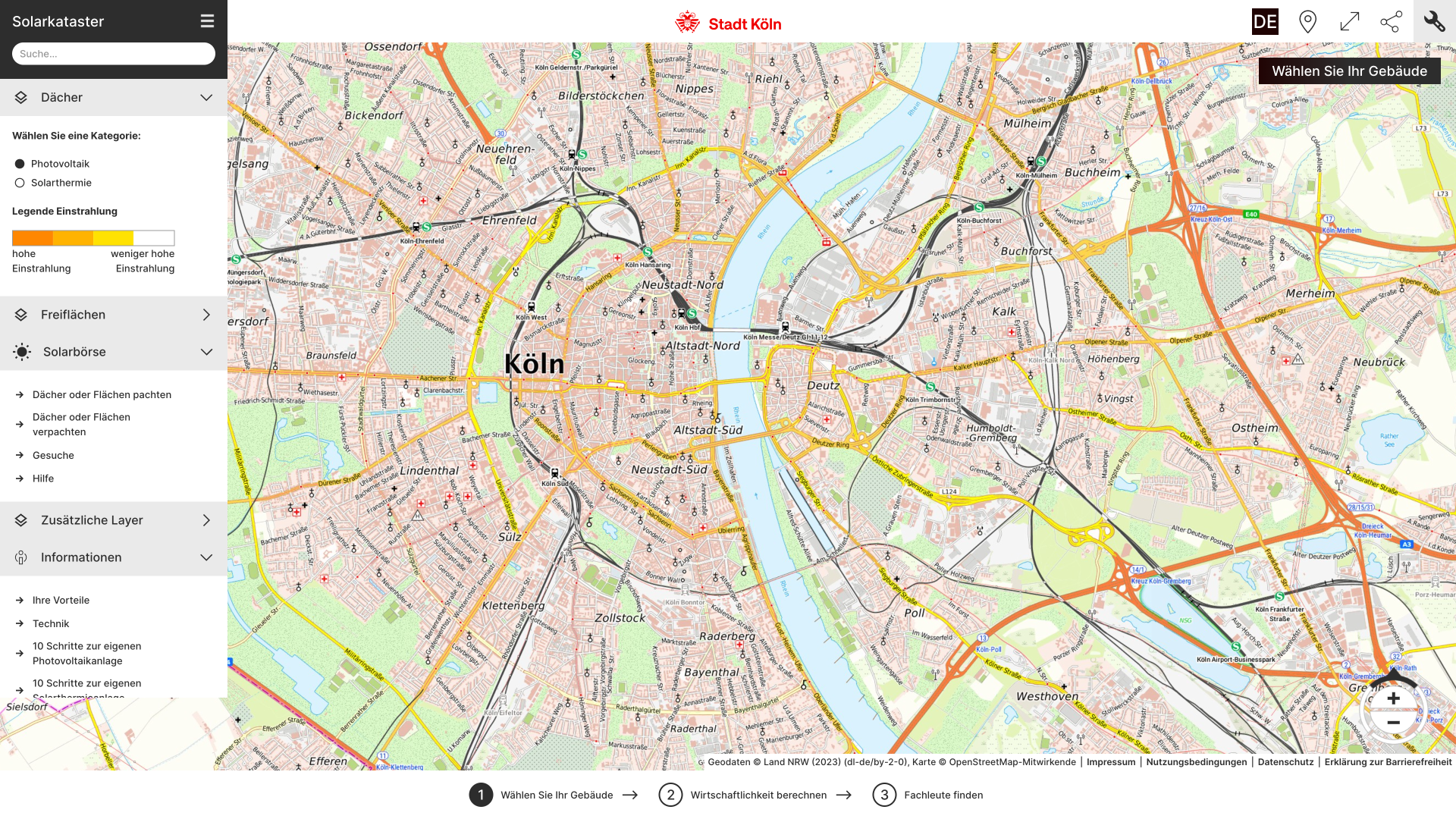
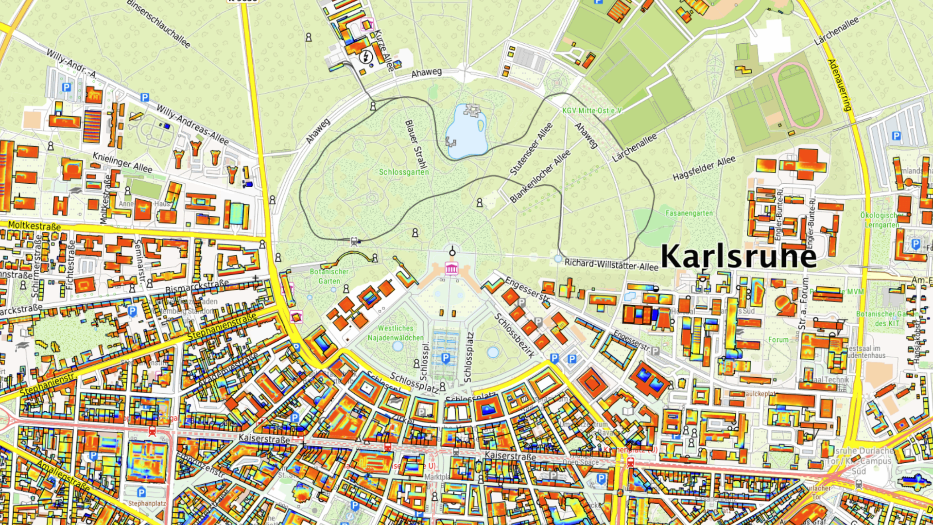
Recognizing and utilizing solar potential.
Identify and exploit potential for green roofs.
Establish location portals for marketing vacant properties and commercial space.
Visualize 360° street panorama images online, regardless of manufacturer.
